


© National Railway Museum
Product details
Description
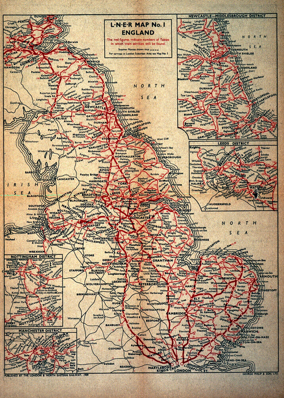
Map of England as served by the London & North Eastern Railway.
Map of England as served by the London & North Eastern Railway, c.1930.
Tax included.